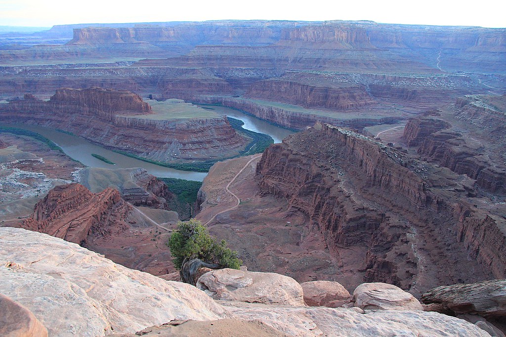
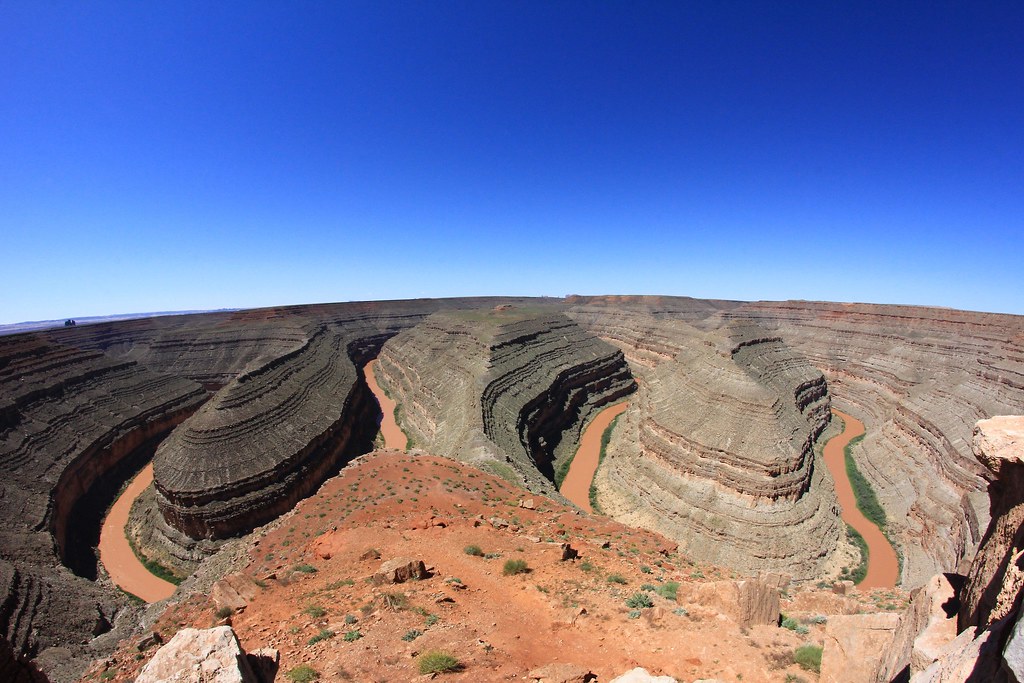
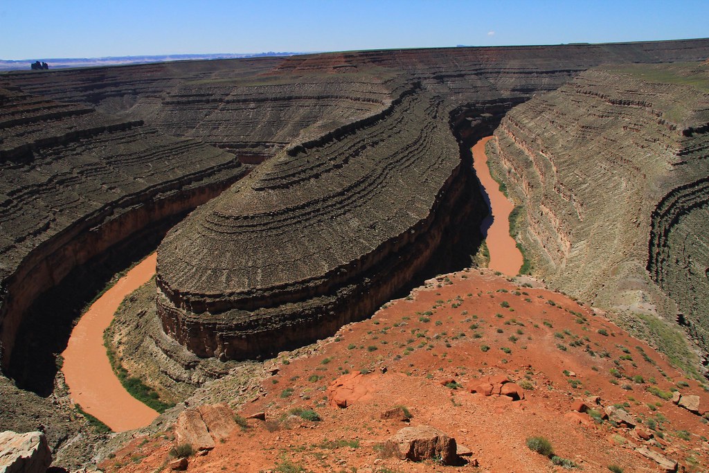
Exactamundo! They call this Goosenecks State Park. Everyone seems to know Mexican Hat Rock, but we weren't too impressed with that. This overlook is just 6.5 miles from there. You take 163 up to 261 and over on 316. I don't remember having to pay to go to the overlook but it looks like it's $5 now. There isn't anything there except a toilet and the view. As I remember it, there weren't any guardrails or anything, you just walk a short path and you are the edge of a bizarre otherworldly place.
It's not beautiful like Horseshoe Bend or the Grand Canyon, but it's interestingly weird. You can't get a feel for how far up you are at all but you can tell it's deep. The river is the San Juan River 53 miles (as the crow flies) before it joins the Colorado and later forms Lake Powell, then eventually the Grand Canyon.
Tammy did not like it as she said it looked too much like snakes, but I thought it was one of the more interesting views. I got some interesting shots, but couldn't really capture the area in a picture.
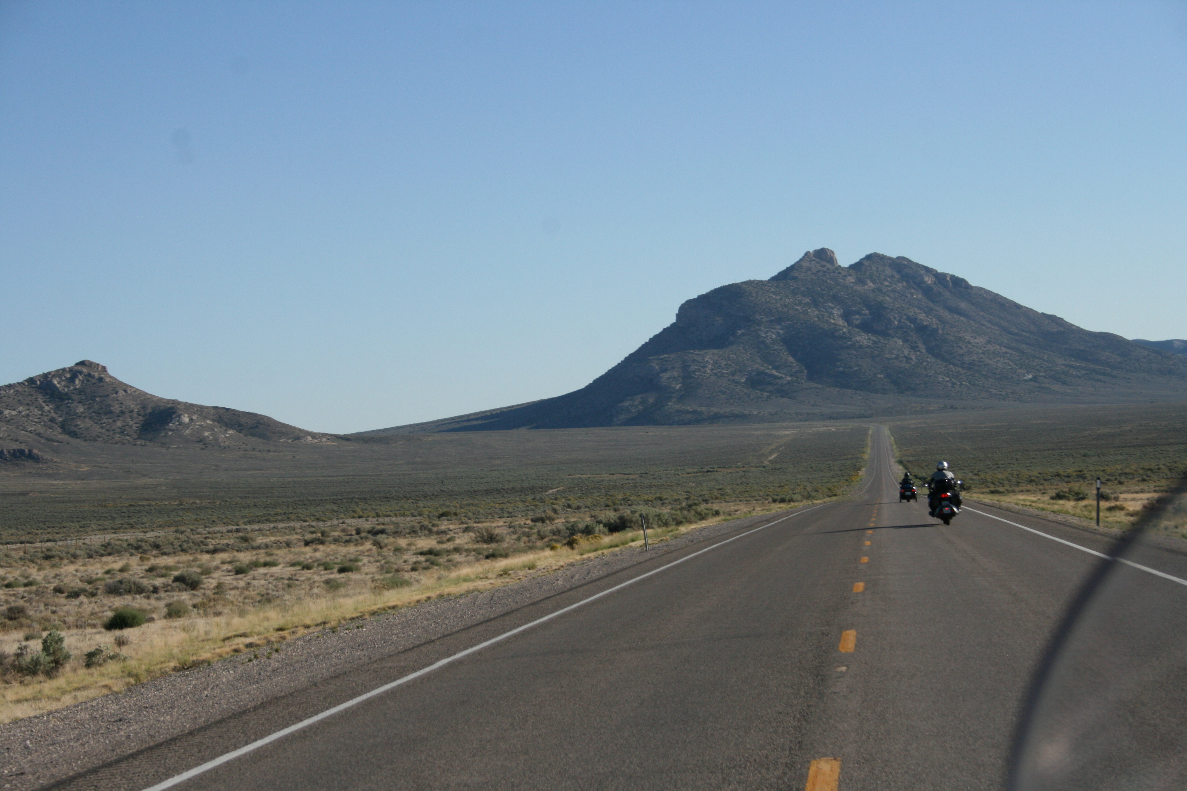
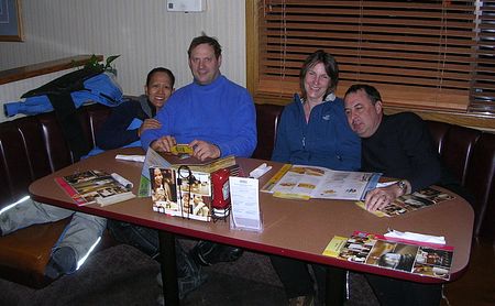
FredRider, you are up!


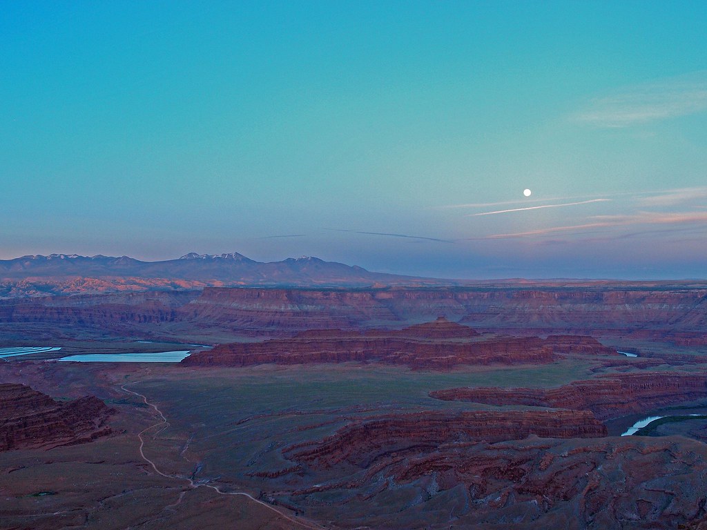
 ). It is quite a place!


![Decrum Motorcycle Jacket Men - Mens Leather Jacket | [1100065] Austin Brown, XL](https://m.media-amazon.com/images/I/41HqZSRj6LL._SL500_.jpg)


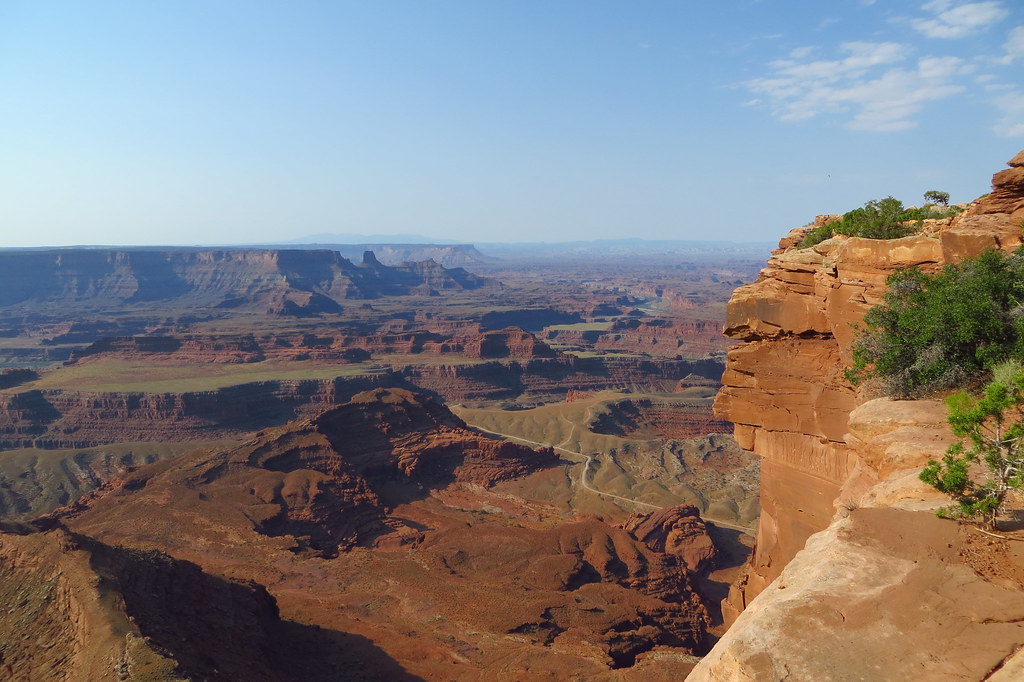
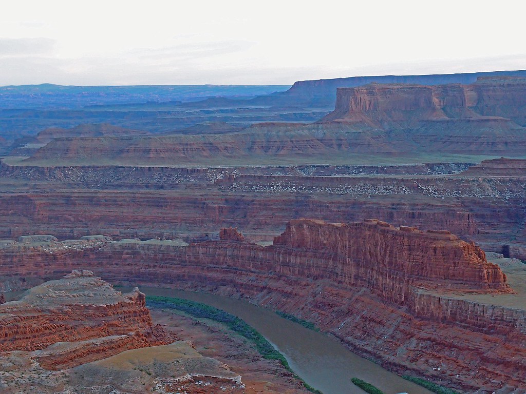
 . It does overlook Canyonlands NP, but it isn't in the National Park
 sorry, no. Picture was taken in a Utah State Park which borders Canyonlands.