Auburn
Well-known member
Bingo you got it (first) Your turn for the next one.Or the Great Basin in Utah. But close for sure, Bugs. Definitely not New England. Or Florida.
Correct. And a great ride it was.

Bingo you got it (first) Your turn for the next one.Or the Great Basin in Utah. But close for sure, Bugs. Definitely not New England. Or Florida.
Correct. And a great ride it was.
Sorry, begging off. Since Photo Bucket crapped out, I haven't posted any pics here at all, and I'm not smart enough to figure out how now. That's for you tech-savvy youngsters! Enjoying the thread though.Bingo you got it (first) Your turn for the next one.
Correct. And a great ride it was.
Wish I could remember where along the way. I have always remembered this as one of my favorite pictures because it is motorcycling LD riding at it's essence. We were in the middle of a SS1000 on day two of an epic tour of Arizona and Utah with great friends.I've also tried to find the specific view on the route, but haven't come up with it yet. I agree SacramentoMike gets the win, but I'm not quite ready to give up on pinpointing the location either. If they started the SS1000 in Richland WA, 600 miles in (per his trip report) puts them near Currie on 93 but that may have been an approximate. I'll bet that day was a blur riding over 1,000 miles in 18 hours.
Yes, north south road (hwy 93) Can't remember where exactly.Sorry, begging off. Since Photo Bucket crapped out, I haven't posted any pics here at all, and I'm not smart enough to figure out how now. That's for you tech-savvy youngsters! Enjoying the thread though.
BTW, I was thinking 50 in Utah, but the sun's on the right, so a N-S road?


Postimages.org is free and simple to use. Doesn't need a membership. Wouldn't count on it for longterm storage but fine for this or a "for sale" posting etc.P......G....... rd. ? If I'm right I won't be able to post any pics, so I'll leave it to someone else
Per the determined rules of the thread, there is no obligation to post a pic! The more people that guess, the quicker it moves along and I think that's more fun. It falls back to the previous poster if you don't want to put up a pic and at any time any poster can push back to OP (me) as I've got a bunch ready to go.P......G....... rd. ? If I'm right I won't be able to post any pics, so I'll leave it to someone else
Thanks for the linkPostimages.org is free and simple to use. Doesn't need a membership. Wouldn't count on it for longterm storage but fine for this or a "for sale" posting etc.
Right road, but need to name the tunnelP......G....... rd. ? If I'm right I won't be able to post any pics, so I'll leave it to someone else
I finally found it! I was almost convinced global warming had melted that landmark. Then I found your SpotWalla link from your post on the SS1000. You guys didn't take 93 / Great Basin Hwy down from Ely to Crystal Springs. You took 318.I was thinking 93 between Jackpot and Wells or maybe between Wells and Ely and probably 500 + miles into the day running 85 MPH or so.
That's the location. I forgot we had gone an more straight route through that section. Well worth the ride through the area. Beautiful and no traffic.I finally found it! I was almost convinced global warming had melted that landmark. Then I found your SpotWalla link from your post on the SS1000. You guys didn't take 93 / Great Basin Hwy down from Ely to Crystal Springs. You took 318.
The exact spot is 318 Great Basin Landmark
Obviously I'm a bit bored these days...
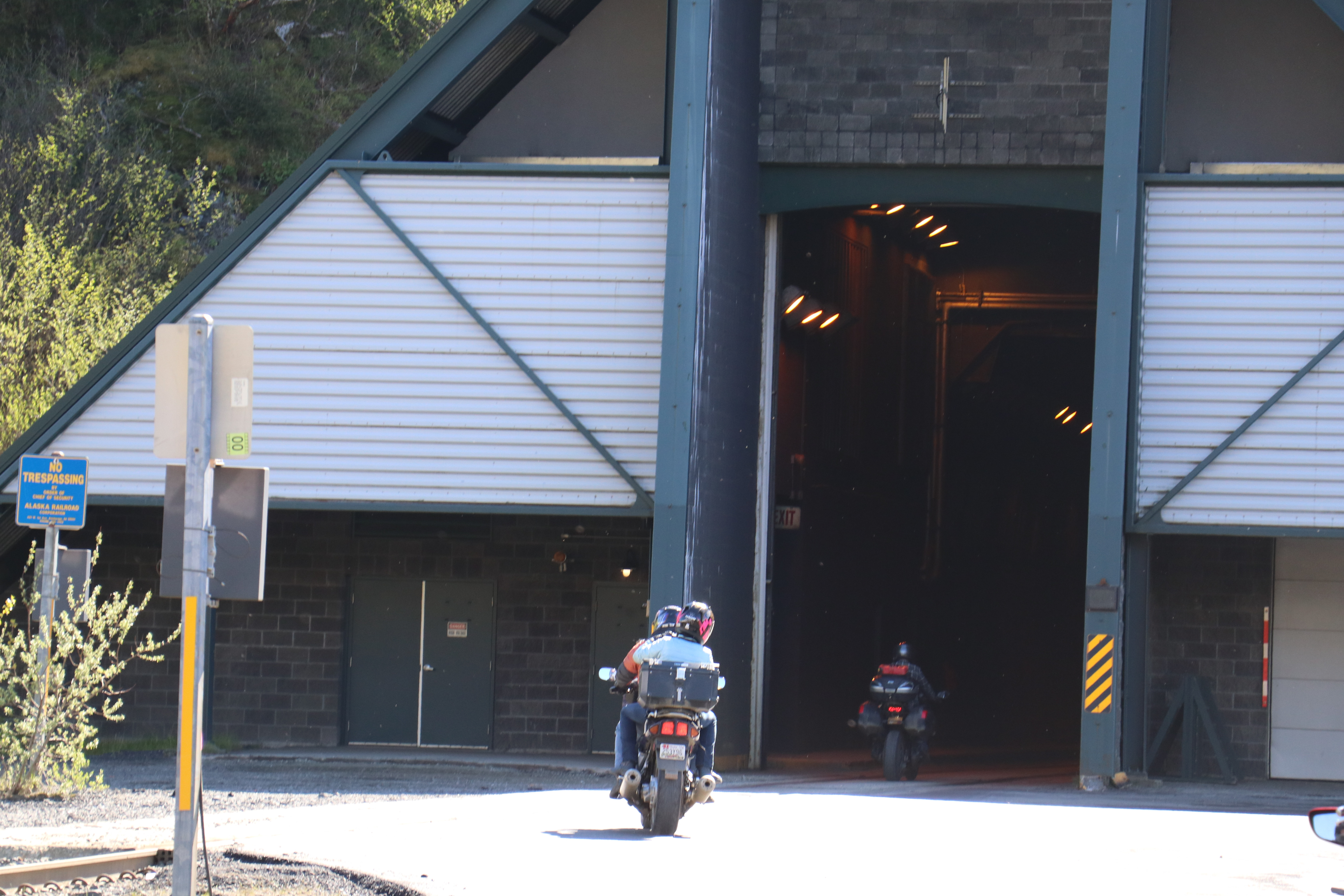
I'll go ahead and guess on this one, but I haven't been that far north. I was able to zoom in on the No Trespassing sign and see the words "Alaska Railroad" and that narrowed it down quickly. It is Anton Anderson Memorial Tunnel in Whittier, Alaska, I believe. The P... G... in weluvbikn's hint is Portage Glacier.
Correct on both counts.I'll go ahead and guess on this one, but I haven't been that far north. I was able to zoom in on the No Trespassing sign and see the words "Alaska Railroad" and that narrowed it down quickly. It is Anton Anderson Memorial Tunnel in Whittier, Alaska, I believe. The P... G... in weluvbikn's hint is Portage Glacier.


Nope. Pants, I don't know if you've been here but I know from a trip report that you camped less than 25 miles away as the crow flies. I looked up how to say that, and it seems the most correct term. But crows do not necessary fly straight and are known to circle their nests.Would that be Little Switzerland on Hwy 226a in NC?
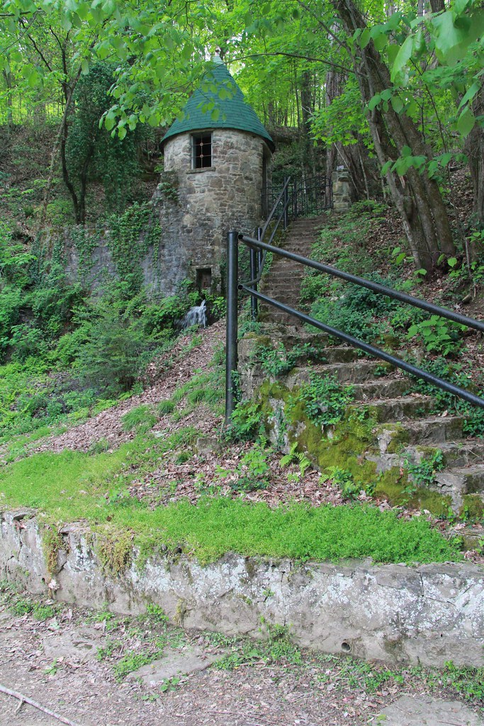
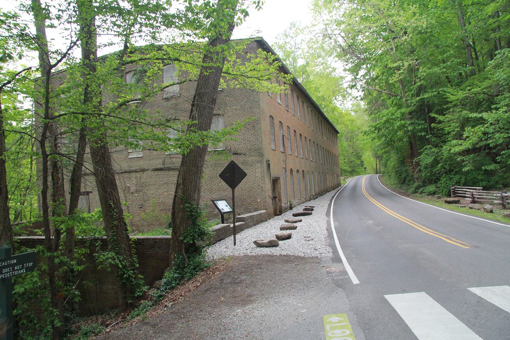
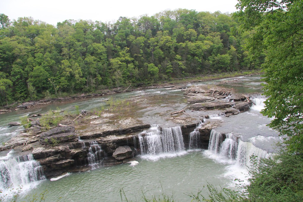
This one may be too hard as I wasn't sure how many people go through this way. I just looked it up and it is not even listed on MotorcycleRoads. I originally found it on a Mad Maps route when we did our 1st overnight bike trip on the VTX, so I know it's at least known as a motorcycle road. Since this was before we rode LD, this is not that far from our home in Hopkinsville KY. Avoiding Interstates entirely it is about 150 miles.Here's the new place. All three of these shots are from the same exact spot. It's not very popular as I've stopped here at least four times on three different bikes and have never seen anyone else in the parking lot. It's a nice little ride through an area on the way to other more popular locations.


