hppants
Well-known member
Blue Ridge Parkway?
correct - slow it down and get into sniffing mode.
correct - slow it down and get into sniffing mode.


If you have not done it, try Hwy 35 from Hood River to Parkdale. There is a great photo op of Mt Hood with the pear orchards in the foreground. Very memorable.Hood it is.
You Oregonians might get a kick over how much these two easterners enjoy the high desert. Riding up 97/197, it seems like we watched Hood on the horizon for hours. Just when we start to think the road will go high, straight and flat all the way to the Arctic Circle some great sweepers drop us down into and then up out of Maupin and there is Hood again. Then it's a little more high straight and flat to the Columbia River. At least that's how I fondly remember it.
Just for kicks Google Earth streetview 45°12'26.62"N 121° 7'24.47"W and pan around


![fjackets Real Lambskin Leather Biker Jacket — Quilted Cafe Racer Zip Up Moto Leather Jackets For Men | [1100085] Johnson Brown, XL](https://m.media-amazon.com/images/I/41I7Pm1f+vL._SL500_.jpg)


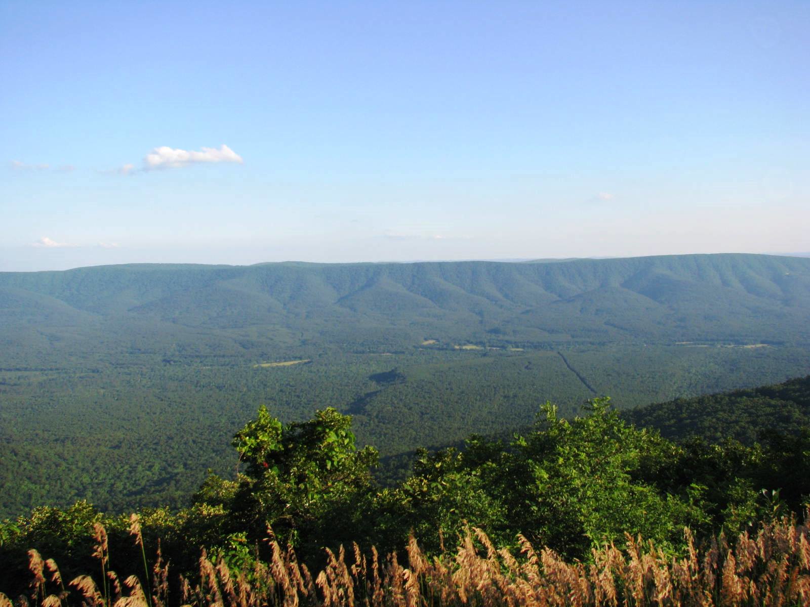
The vastness may be due to all the skill and prep I put into getting that shot (walk across the road, relieve bladder, turn around, snap a pano)I'm hoping this has to be Hwy 348 in Georgia, aka "Richard B Russell Scenic Highway"?
I swear - if this is correct, I cannot remember that overlook. There is an overlook near where the A/T crosses that road, but I don't remember it looking so vast like your picture, Duane.
And alas - Mr. Russell was indeed a politician (form GA Governor).
Three more R3 overlook pics to see if your memory can be jogged.if this is correct, I cannot remember that overlook. There is an overlook near where the A/T crosses that road, but I don't remember it looking so vast like your picture, Duane.
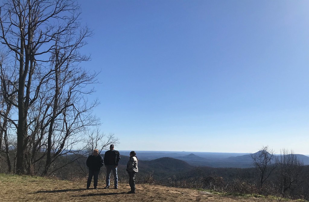
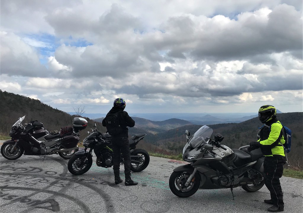
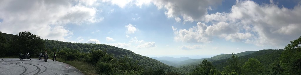
At first glance it looks to me like the Talimena National Scenic BywayYeah - those views do look more familiar. Your original photo was clever, in that approach angle and distance altered the look (for the better, I believe).
My "we can't build a north GA house in this stupid market" wounds have scabbed over. Truly, Ms. Pants was not the leader in this decision, although she'd be fibbing if she said she was crazy about it at the point we turned around. As is usually the case, she is the silent voice of calm and reason that rights my sailboat just when the waves get bad.
The fact is - we ain't gonna be house poor in our retirement. We are having way too much fun now, blowing cash at will. And no matter where you live, if you gotta stay in the box cause ya can't afford anything else, well, that doesn't make sense. And you are correct - I could live FAR more modestly than she is willing to - well within our budget. But I can't live without her anywhere, and I guess THAT is truly where the rubber meets the road.
After some time, if the market stabilizes over there, we might try again.
And now back to our regularly scheduled program....
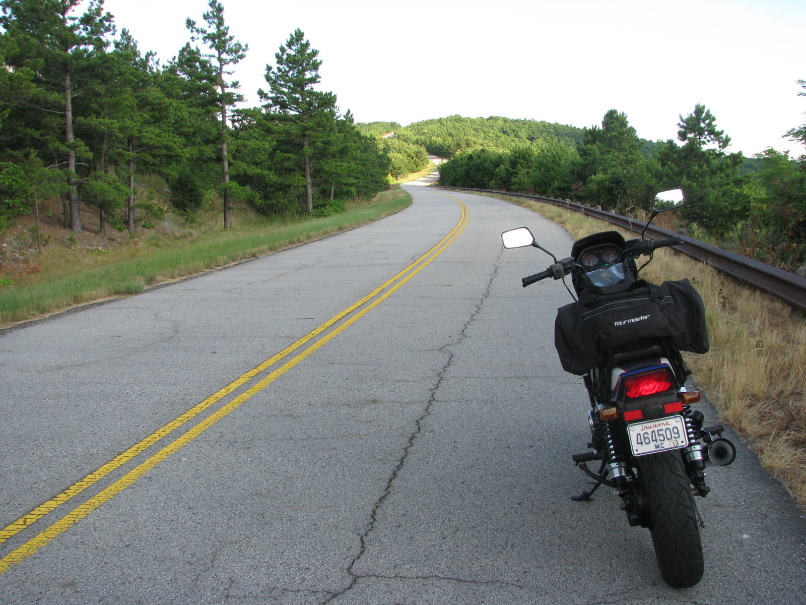
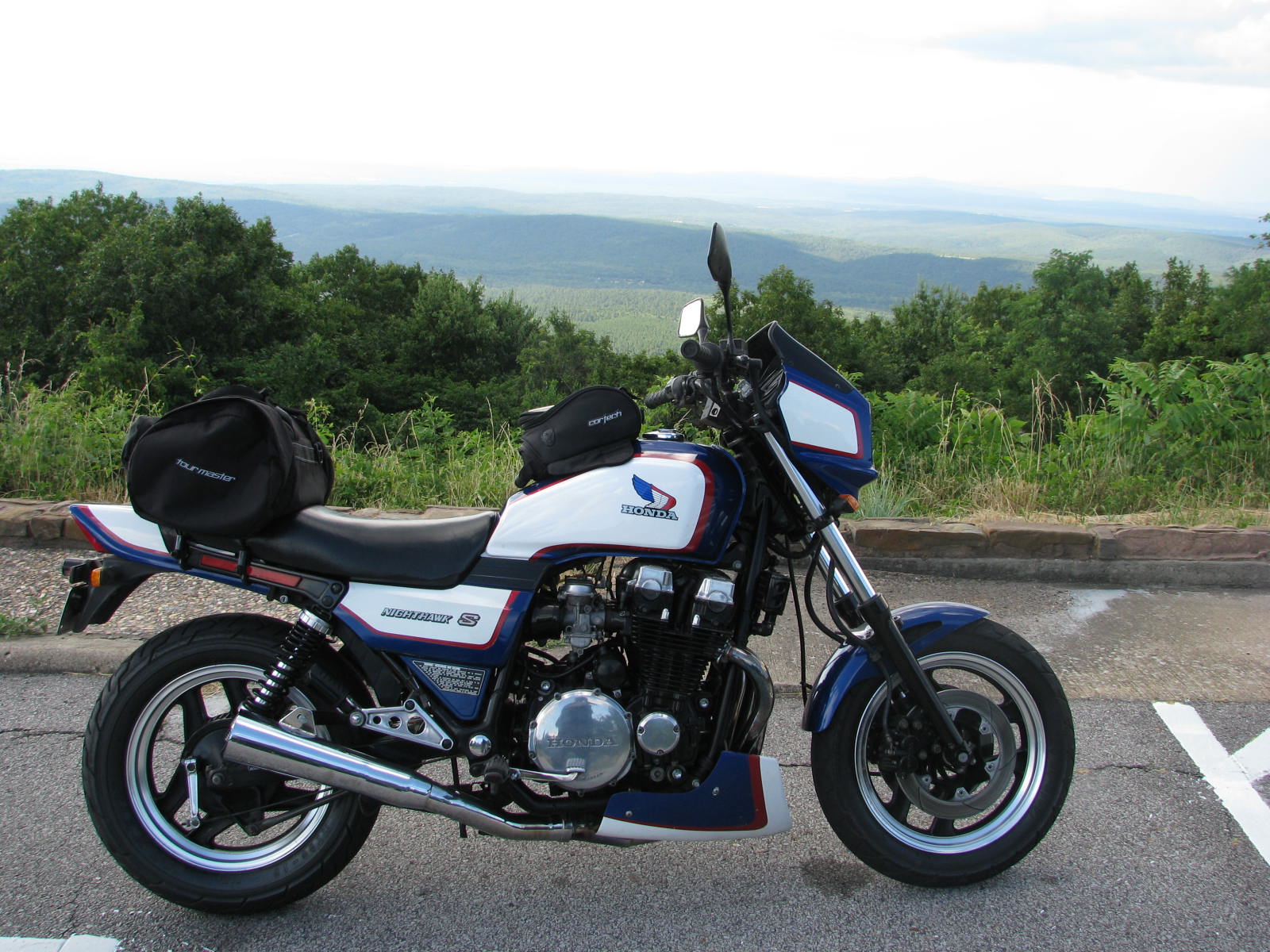
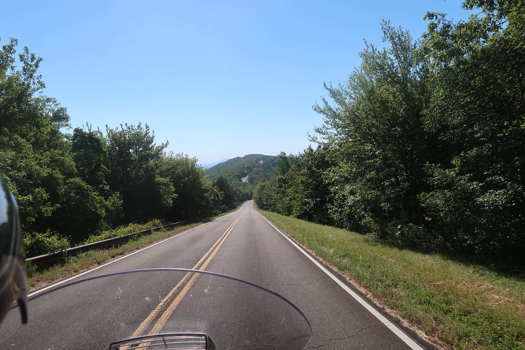
I found this road and this place in 2009. MUCH closer to home than I realized, I was captured by the sinclines in this region, and have taken many opportunities since to explore them on foot and steel/plastic horse. This part of its State is often overlooked by tourists and riders, but it offers another glimpse of the 3rd dimension that we often seek for perspective, literal and otherwise.
This road is named after a combination of each of its endpoints.
Enter your email address to join: