Name That Place Game

Yamaha FJR Motorcycle Forum

Help Support Yamaha FJR Motorcycle Forum:

This site may earn a commission from merchant affiliate links, including eBay, Amazon, and others.
It’s not the BRP either. This road is usually ridden at a good bit more brisk pace than anyone with sense would try the parkway. Probably why you have blown by this overlook with the unique topography without notice .

 
Hood it is. 

You Oregonians might get a kick over how much these two easterners enjoy the high desert. Riding up 97/197, it seems like we watched Hood on the horizon for hours. Just when we start to think the road will go high, straight and flat all the way to the Arctic Circle some great sweepers drop us down into and then up out of Maupin and there is Hood again. Then it's a little more high straight and flat to the Columbia River. At least that's how I fondly remember it.

Just for kicks Google Earth streetview    45°12'26.62"N   121° 7'24.47"W   and pan around
If you have not done it, try Hwy 35 from Hood River to Parkdale. There is a great photo op of Mt Hood with the pear orchards in the foreground. Very memorable. 

 
I can't be 100% sure, but I think that I am leading that ride!!!  If so, I remember the trip, but can't place the overlook.

Unless that is Hwy 76 between Clayton and Hiawassie (sp)?

 
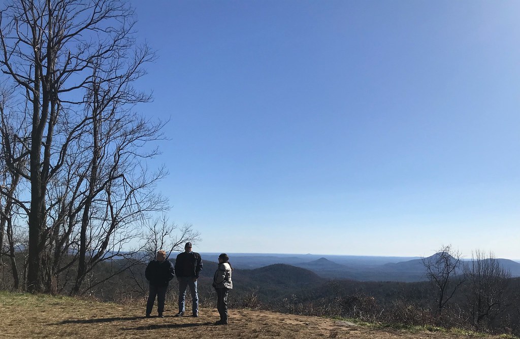
That is a Pants lead invasion. The road is named after a man whose noteworthiness I've never researched. If he was truly worthy of having a dozen miles or so of moto road this good named after him he would be a deity. Sure would hate to find out he was just a politician. We don't refer to it as his scenic highway. We call it so-and-so raceway, or R3. Kind of rolls off the tongue with the rhythm of a good set of switchbacks. Last November I had the pleasure of introducing three riders, on two occasions, to riding in this area. This overlook overlooks area way more populated that it appears. A few hills seem so perfectly cone shaped they make me think man made. All three new riders were in sync- "I can't believe this is Georgia!"

 
I'm hoping this has to be Hwy 348 in Georgia, aka "Richard B Russell Scenic Highway"?

I swear - if this is correct, I cannot remember that overlook.  There is an overlook near where the A/T crosses that road, but I don't remember it looking so vast like your picture, Duane.
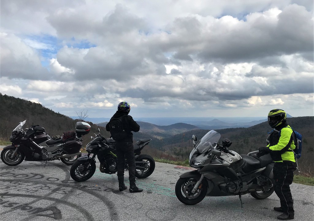
And alas - Mr. Russell was indeed a politician (form GA Governor).

 
I'm hoping this has to be Hwy 348 in Georgia, aka "Richard B Russell Scenic Highway"?

I swear - if this is correct, I cannot remember that overlook.  There is an overlook near where the A/T crosses that road, but I don't remember it looking so vast like your picture, Duane.

And alas - Mr. Russell was indeed a politician (form GA Governor).
The vastness may be due to all the skill and prep I put into getting that shot (walk across the road, relieve bladder, turn around, snap a pano)

 
Good one!  All those roads which comprise the Georgia Gauntlet have nice personalities and are worth riding. I don't remember that scenic overlook either, but I looked back through my last three north Georgia rides and I didn't hit 348 on the last two so it would have been 2012 since we rode it and my wife didn't take pics on the back of the bike back then. I find that if we don't have pics, I barely remember it. 

 
if this is correct, I cannot remember that overlook.  There is an overlook near where the A/T crosses that road, but I don't remember it looking so vast like your picture, Duane.
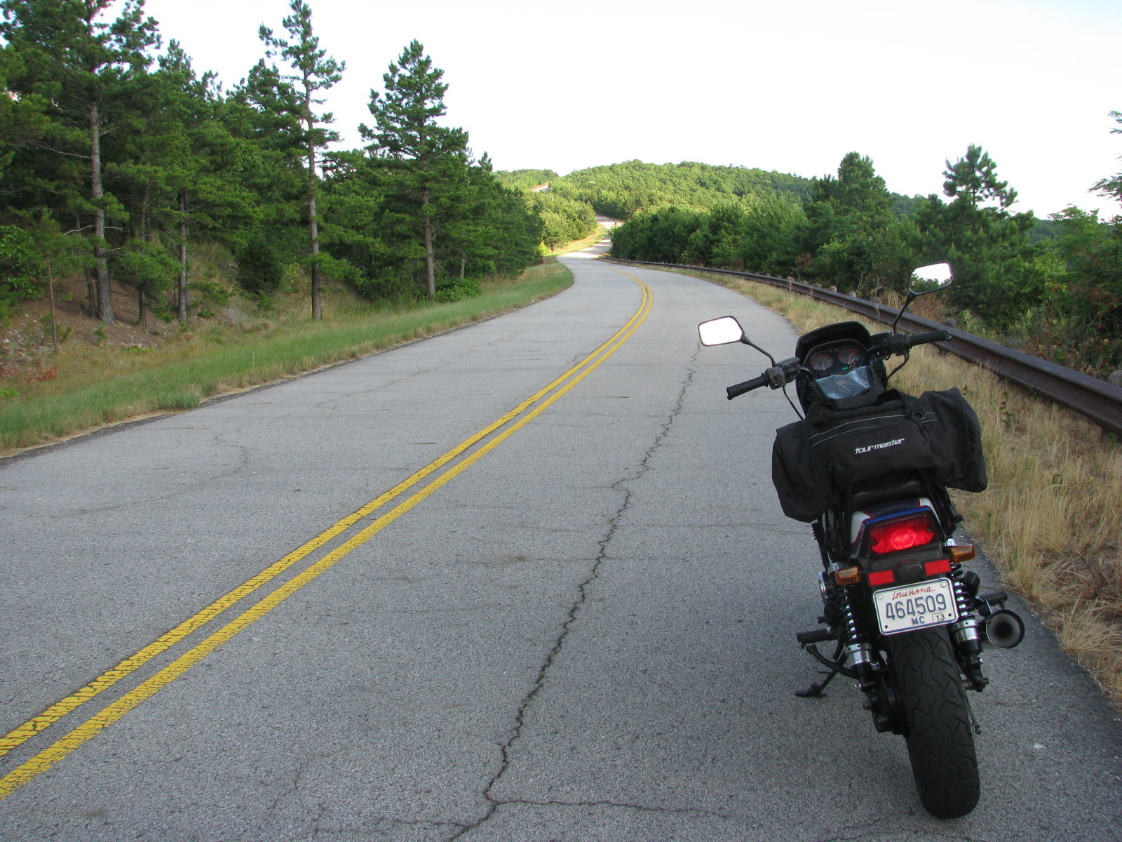
Three more R3 overlook pics to see if your memory can be jogged. 

50657727538_139ec73bfd_b.jpg


50636926518_4eac722b3f_b.jpg


42943389572_d41b3b9a84_b.jpg


I think you need to rethink that north GA move. Forget about Mrs Pants dream house. All you really need is someplace for your FJR friends to crash and a stove to feed them.


Yeah - those views do look more familiar.  Your original photo was clever, in that approach angle and distance altered the look (for the better, I believe).

My "we can't build a north GA house in this stupid market" wounds have scabbed over.  Truly, Ms. Pants was not the leader in this decision, although she'd be fibbing if she said she was crazy about it at the point we turned around.  As is usually the case, she is the silent voice of calm and reason that rights my sailboat just when the waves get bad.

The fact is - we ain't gonna be house poor in our retirement.  We are having way too much fun now, blowing cash at will.  And no matter where you live, if you gotta stay in the box cause ya can't afford anything else, well, that doesn't make sense.  And you are correct - I could live FAR more modestly than she is willing to - well within our budget.  But I can't live without her anywhere, and I guess THAT is truly where the rubber meets the road.

After some time, if the market stabilizes over there, we might try again.

And now back to our regularly scheduled program....

I found this road and this place in 2009.  MUCH closer to home than I realized, I was captured by the sinclines in this region, and have taken many opportunities since to explore them on foot and steel/plastic horse.  This part of its State is often overlooked by tourists and riders, but it offers another glimpse of the 3rd dimension that we often seek for perspective, literal and otherwise.

This road is named after a combination of each of its endpoints.

IMG_4870-X3.jpg


Yeah - those views do look more familiar.  Your original photo was clever, in that approach angle and distance altered the look (for the better, I believe).

My "we can't build a north GA house in this stupid market" wounds have scabbed over.  Truly, Ms. Pants was not the leader in this decision, although she'd be fibbing if she said she was crazy about it at the point we turned around.  As is usually the case, she is the silent voice of calm and reason that rights my sailboat just when the waves get bad.

The fact is - we ain't gonna be house poor in our retirement.  We are having way too much fun now, blowing cash at will.  And no matter where you live, if you gotta stay in the box cause ya can't afford anything else, well, that doesn't make sense.  And you are correct - I could live FAR more modestly than she is willing to - well within our budget.  But I can't live without her anywhere, and I guess THAT is truly where the rubber meets the road.

After some time, if the market stabilizes over there, we might try again.

And now back to our regularly scheduled program....

I found this road and this place in 2009.  MUCH closer to home than I realized, I was captured by the sinclines in this region, and have taken many opportunities since to explore them on foot and steel/plastic horse.  This part of its State is often overlooked by tourists and riders, but it offers another glimpse of the 3rd dimension that we often seek for perspective, literal and otherwise.

This road is named after a combination of each of its endpoints.
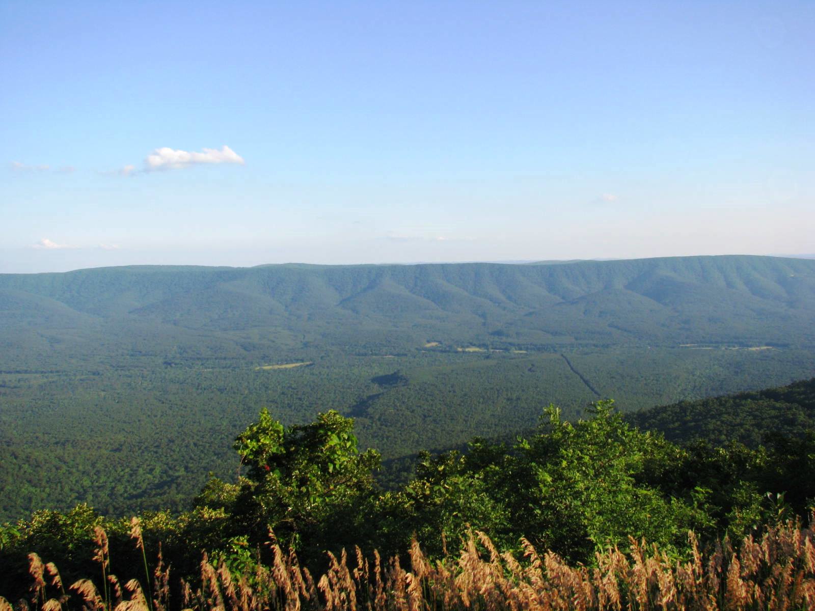
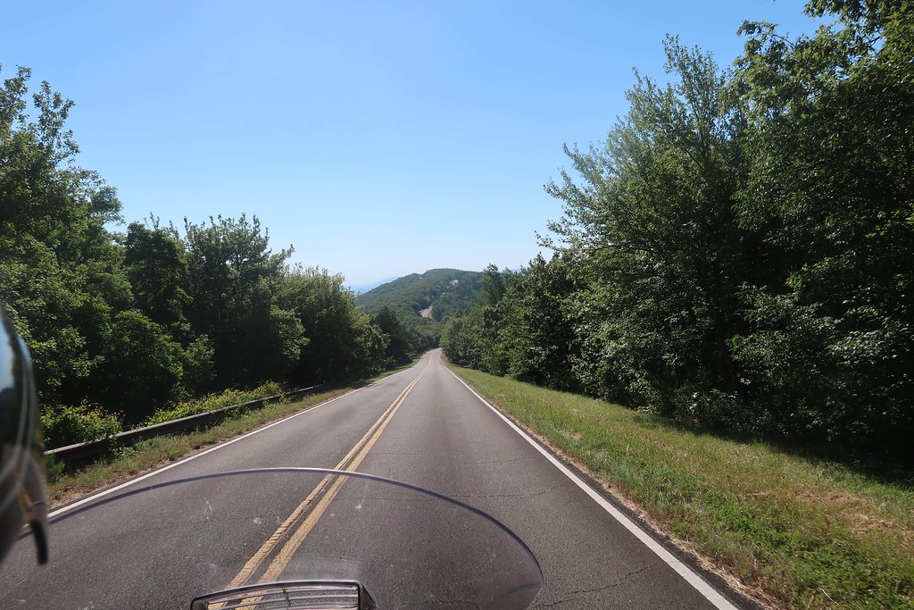
At first glance it looks to me like the Talimena National Scenic Byway

 
You are both correct.

The Talimena Scenic Highway connects Talihena, OK and Mena, AR by way of a twisty ribbon of pavement that runs through the spine of the Ouachita Mountains.  At 2200-2700 feet, these comparative geologic "pimples" aren't going to win any popularity context amongst climbers.  But at 300 miles from where I live (my house slab is 24 feet above sea level), they are a welcome site when I'm looking to get away and I don't have much time.

IMG_4878%20final-X3.jpg


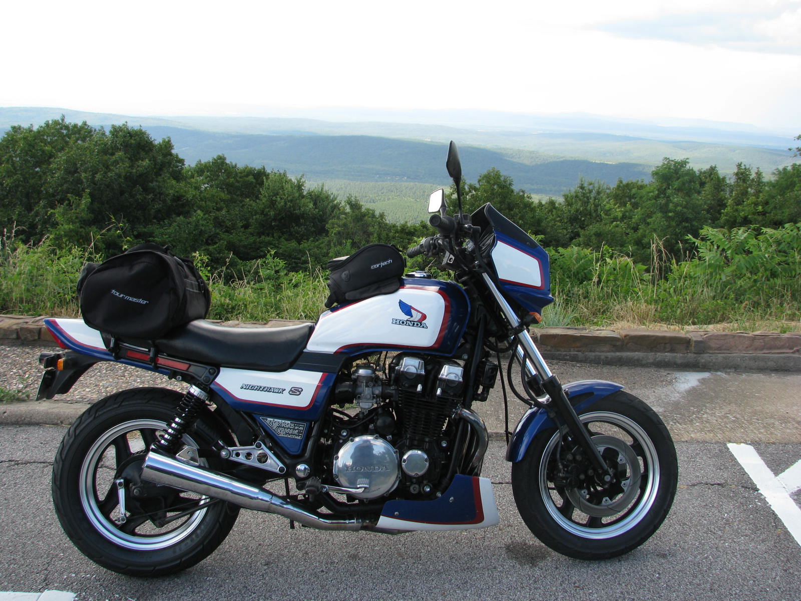
FjrVfr - not a Viffer, but an 'ole 700s.  It was an '84 clad in '86 red, white, and blue tank/plastics.  That was one fun bike to ride.

IMG_4867-X3.jpg


Goodman - you have the con, sir.

 
Here's our pic of the Talimena from last year. It looks like we snapped it in about the same spot. I liked how the road looked through the trees as we were going up.


Here's the next place:


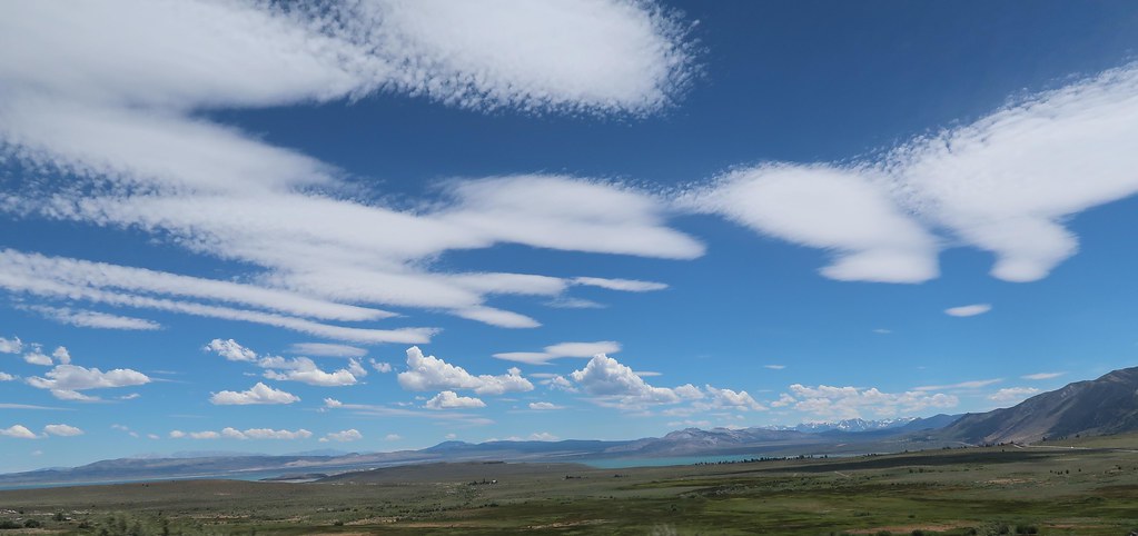
The focal point of this picture was the clouds, but I'm quite sure that won't help any with the place. The landmark in the distance is unusual though and worth a visit. We went there by car back in the late 90's and spent some time investigating the area. This pic is from just a couple years ago on the bike and we only stopped briefly this time.

Rule update: There has been some discussion about what research is allowed when guessing. I think it's fine to do google searching especially after a day has gone by, which allows for somebody to guess it based on just memory. You should not guess if you see the name of the place in a picture linked by the poster if you go to the hosting site. I am undecided on whether looking through the poster's trip reports is cheating or not. It does get people to read trip reports which is productive for the intent of the thread, but let's leave that as a last resort. 

 
Mono Lake from Conway Pass overlook on hwy 395 .

Real solid chance I'll be riding that Sunday on the S10 ahead of a bit of weather coming in Sunday night on my way to Death Valley.

BTW Hwy 120 EAST of 395 to Benton is in my top 5 MC roads, it runs on south side of the lake.

 
Top