Goodman4
Pressing on
Sorry, I responded days ago that this was correct! Must have not saved correctly on the phone.
Blchandl2 - you are up if you want!
Blchandl2 - you are up if you want!


You mean you seriously had Blackwater queued up? That's funny.Goodman4, I will have to pass since that was going to be my next place to post. I do not have an extensive photo collection.
Yep, I am running out of pics/places.You mean you seriously had Blackwater queued up? That's funny.
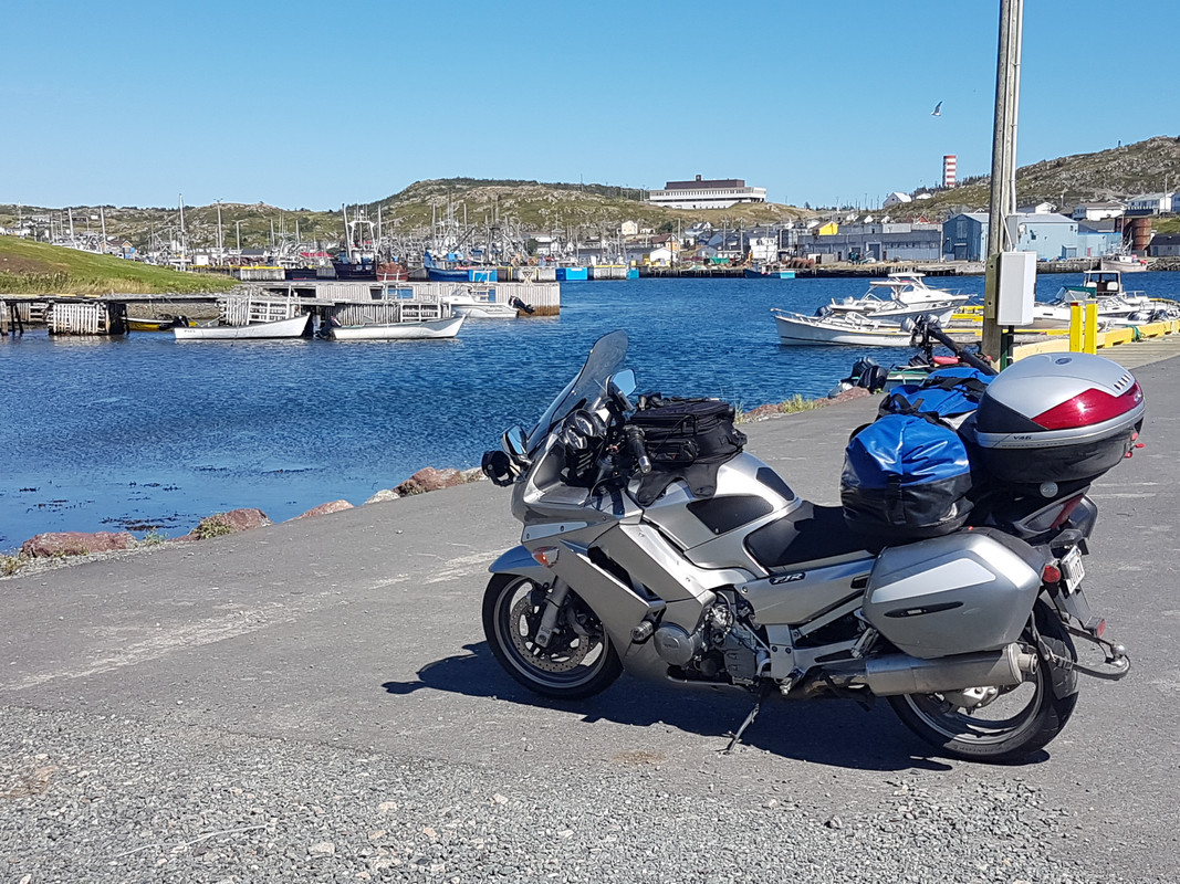
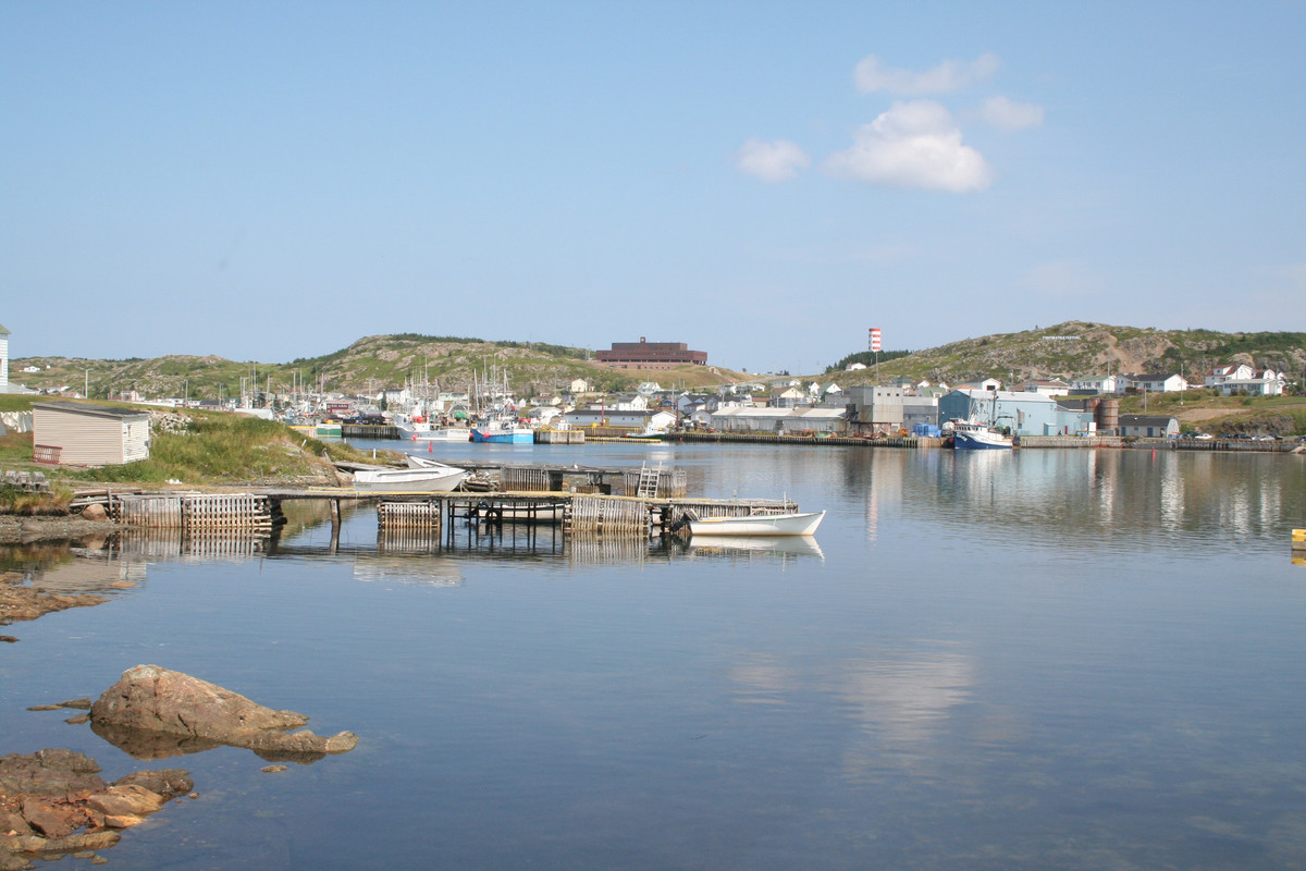
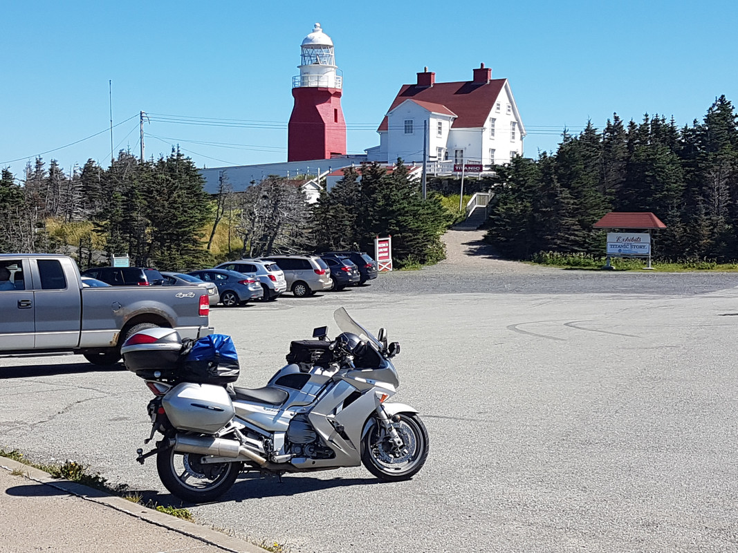
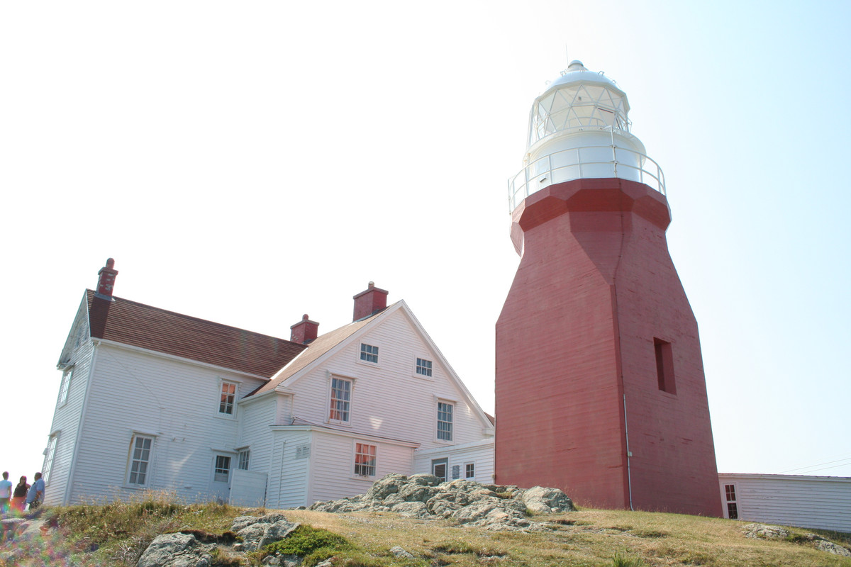
I will gladly post a new one this evening.
")
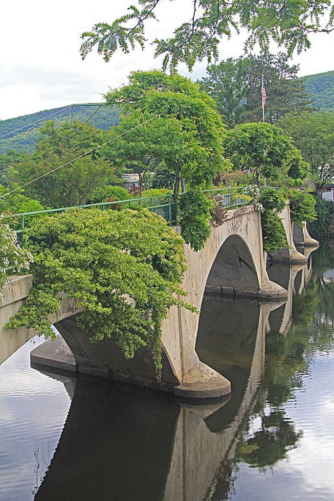
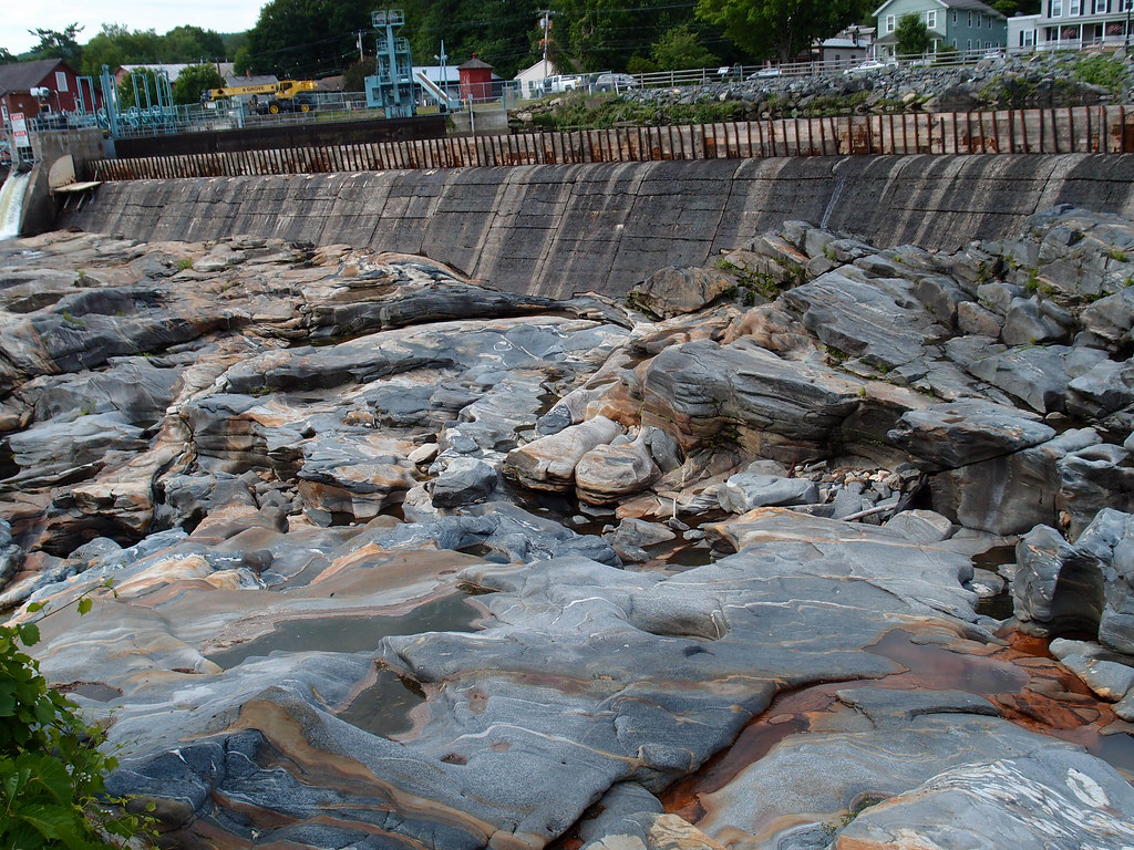


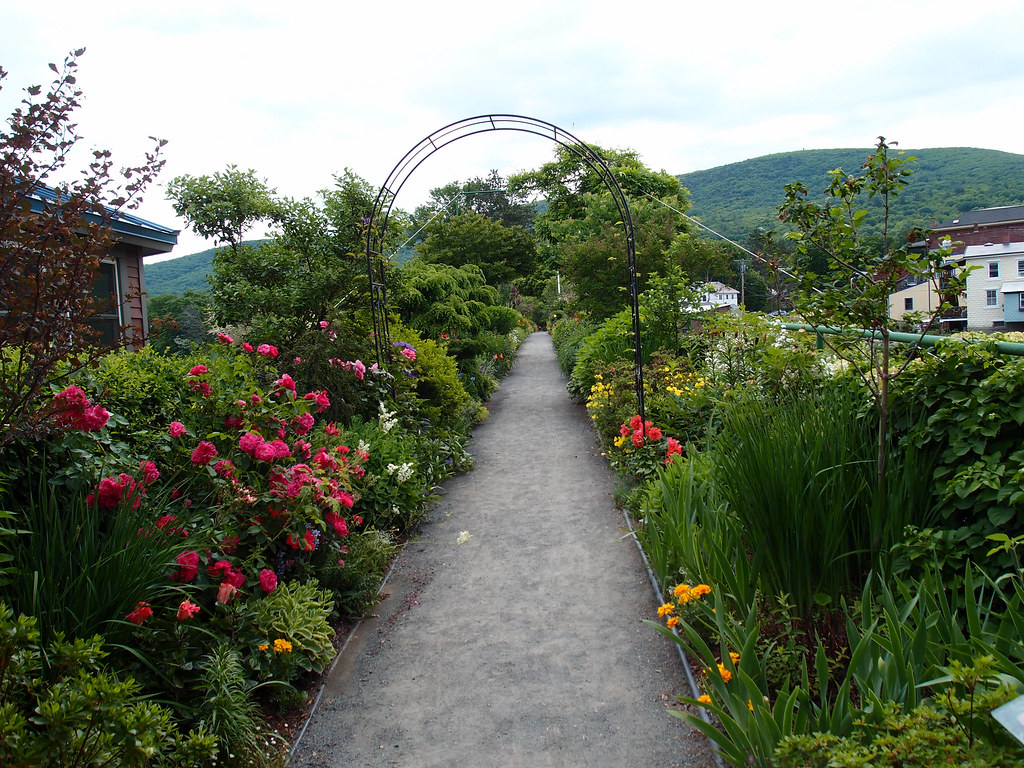
It's on the other side of the country. You made me do some research because I didn't know much about the rocks. I researched more about the bridge and the flowers back when we were there. But yes, they are granite, and gneiss in particular. I don't know what that is but it sounds nice.I have no idea where you are but I like the blue in the rock. Is it Granite? We have a blue granite called Yuba Blue as it's found in and around the Yuba River of northern Ca.


Thanks Ross! You are correct! Do you want to post a pic? I'm sure you've got a lot up in the Northeast that would be fun to search for...I'll put you out of your misery!
(Thanks to Google)
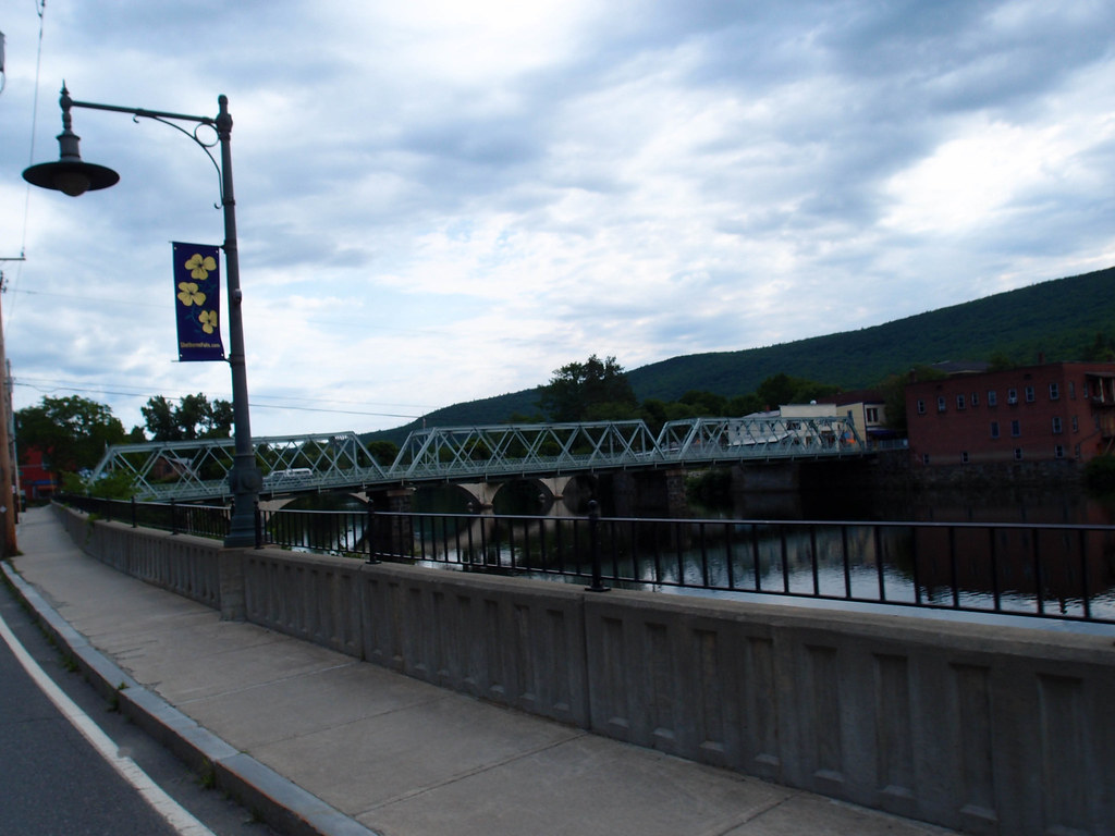
"Bridge of Flowers"
Shelburne Falls, MA